We use our own and third-party cookies for analytical and technical purposes, processing data necessary to create profiles based on your browsing habits. You can find more information and configure your preferences in 'Cookie Settings'.
 Back
Back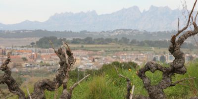
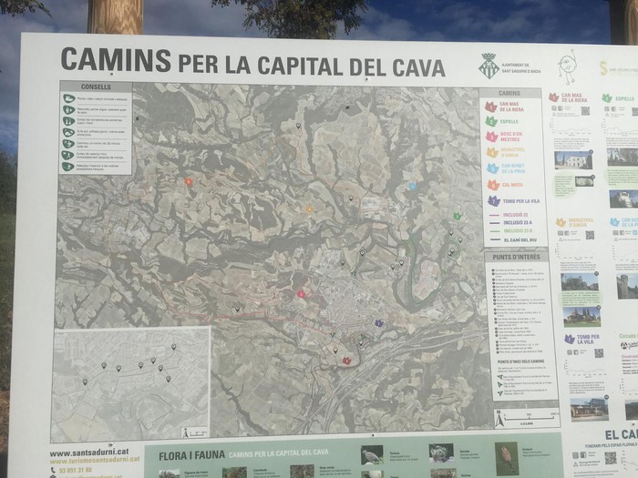
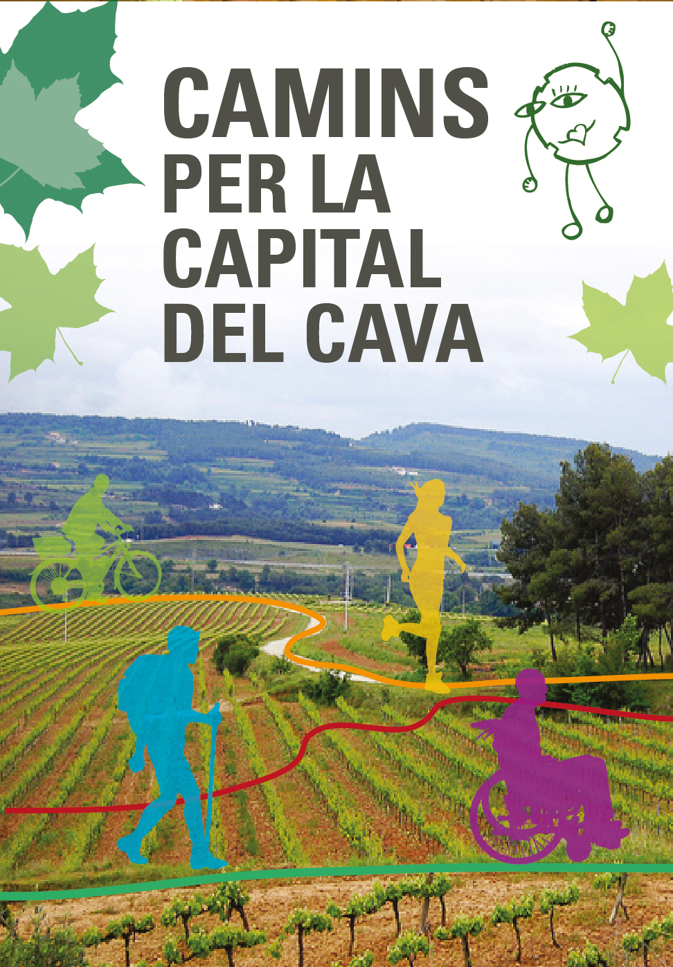
The project “Camins through the capital of cava” is a network of seven signposted routes that originate in the heart of the town, right in the Town Hall Square, and extend through the four cardinal points of the municipality. Each path bears a name inspired by an emblematic place and is distinguished by the color of a pompom, so that the user can easily follow them on the ground and on the official map. The routes - of very varied extension and slope - have been designed both for sports practice (running, mountain biking, Nordic walking) and for family walks. The path 7, called “Tomb per la Vila”, follows 3.5 km without difficulty and invites you to discover the historic center, the winding route of Raval street and the passage of the stream of Lavernó.
The complex includes three inclusive circuits adapted to people with reduced mobility and the “Itinerary del Camí del Riu”, which connects the center with reclaimed river spaces. To facilitate access, there are three well-indicated decentralized exit points: the Plaza de la Premsa (P), the Timba exit (T) and the Vilarnau exit (V). Each sheet specifies the exact distance, technical difficulty, slope curve and warnings - for example, steps coinciding with agricultural traffic routes - so that everyone can choose with criteria.
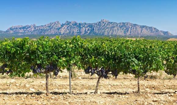
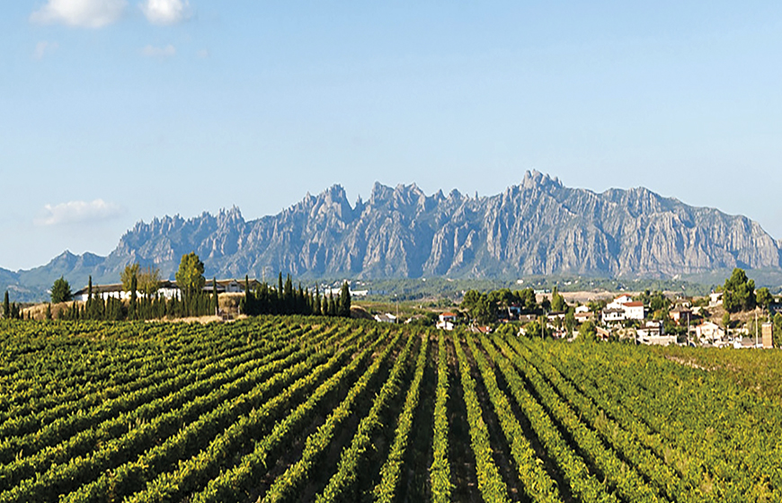
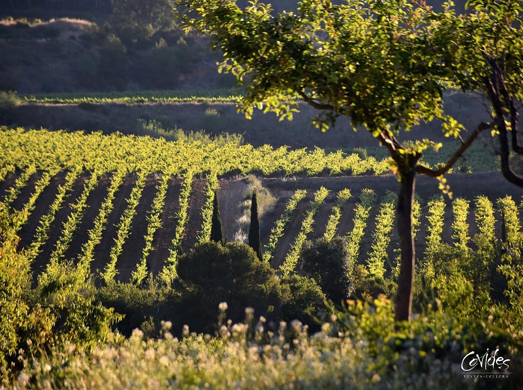
The proposal was born within the municipal Health Plan with the aim of promoting active habits and publicizing little-visited places, such as hills crowned by vineyards, natural viewpoints over Montserrat or old road infrastructure. Since the first edition, the City Council has been renovating the signage, adding QR codes that allow downloading the track and highlighting points of cultural interest: modernist farmhouses, old Fassines or lime kilns hidden among the vines.
A distinctive feature of the project is the collaboration with local entities — schools, hiking clubs and groups of the Festa de la Fil·loxera — which sponsor specific sections and ensure their maintenance. Thanks to this volunteering, the paths are kept open all year round, with steps cleaned after the waterfalls and banks strategically located near natural sources.
Work is currently underway on the complete digitization of the seven itineraries to integrate them into the system of healthy routes of the Diputació de Barcelona and, in the medium term, on the link with the Via Augusta Penedès, so that Sant Sadurní becomes a hiking node between the Anoia basin and the Penedès coast.


 CAT
CAT ESP
ESP FRA
FRA POR
POR ITA
ITA ALE
ALE NLD
NLD ZH
ZH JA
JA