We use our own and third-party cookies for analytical and technical purposes, processing data necessary to create profiles based on your browsing habits. You can find more information and configure your preferences in 'Cookie Settings'.
 Back
Back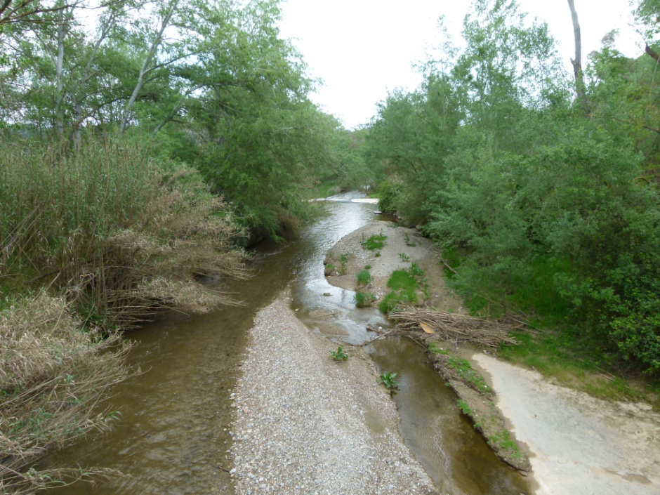
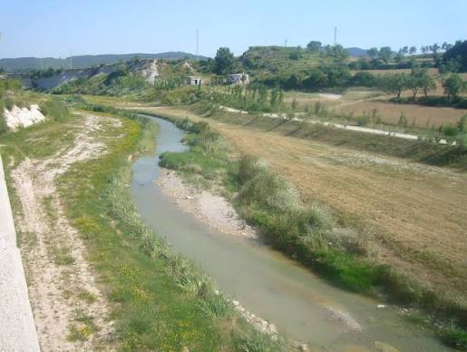
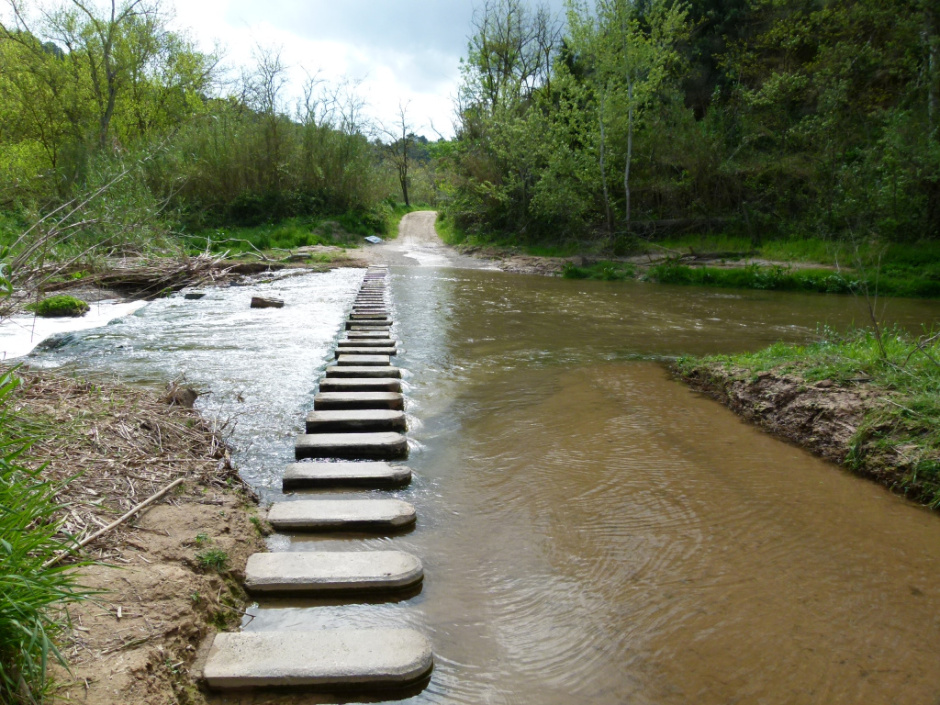
The Anoia, which begins in the Calaf plateau through the confluence of small streams, descends 68 km until it meets the Llobregat in Martorell. On its way through Sant Sadurní, it travels 4 km —between the heights of 128 and 107 m— and receives two illustrious companions: the Riudebitlles, next to the Colònia Pons, and the stream of Lavernó, already in the vicinity of the vineyards of Subirats.
The Sadurninense stretch is part of the Penedès prelittoral depression. Here the river meanders between gravel and chalk margins that farmers have learned to “read”: according to Xavier Barberà, the color of the flood revealed the origin of the storm. Thus, the reddish waters revealed the Miralles valley, the gray waters the Coll dels Brucs and the yellowish waters the Segarra.
The 19th century was especially hard. The chronicles count floods in 1803, 1818, 1826, 1829, 1831, 1842 (triple), 1846, 1850, 1853, 1855, 1856, 1863, 1866, 1874, 1887, 1890 and 1898. Among the most remembered are the Aiguat de Sant Bartomeu (1842) and the flood of Sant Antoni (1890), which flooded wineries and fields.
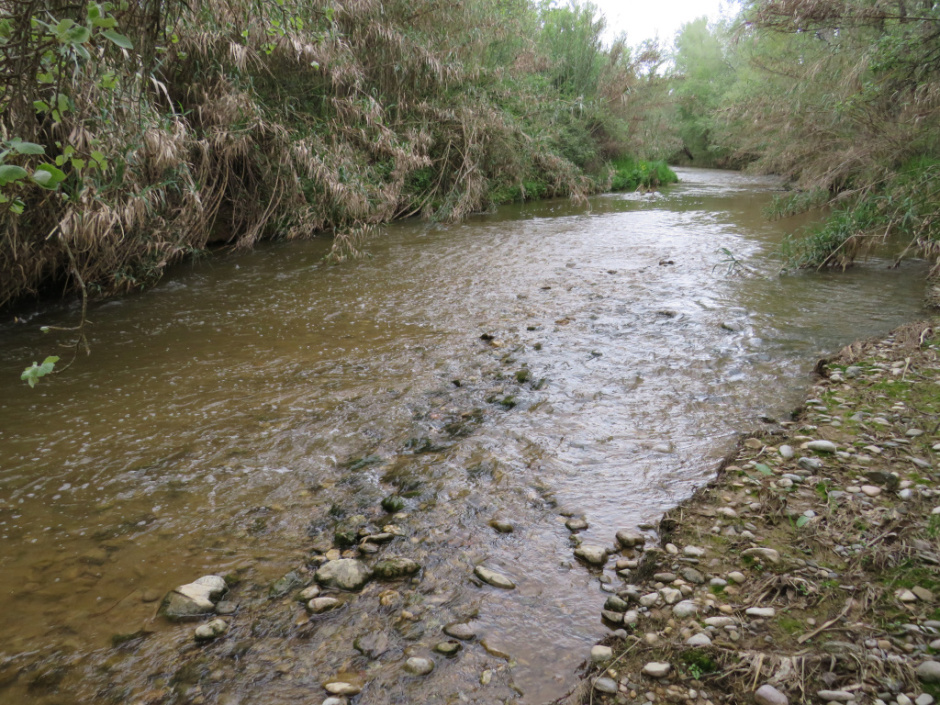
Today the Anoia presents a heterogeneous ecological state. In the sections of Can Codorniu and Can Catassús, a well-structured riparian forest survives, while other sectors are colonized by American cane. The Catalan Water Agency is the owner and promotes river restoration and invasive species control projects.
Walking along its riverbed is to discover a universe of waterfowl, rushes and junkies that coexist with wine activity. The river, which used to move mills and irrigate orchards, is today claimed as a green axis and biological corridor of first order for the Penedès plain.


 CAT
CAT ESP
ESP FRA
FRA POR
POR ITA
ITA ALE
ALE NLD
NLD ZH
ZH JA
JA